Lesson Plan Overview
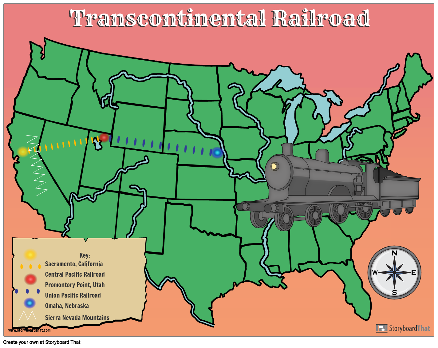
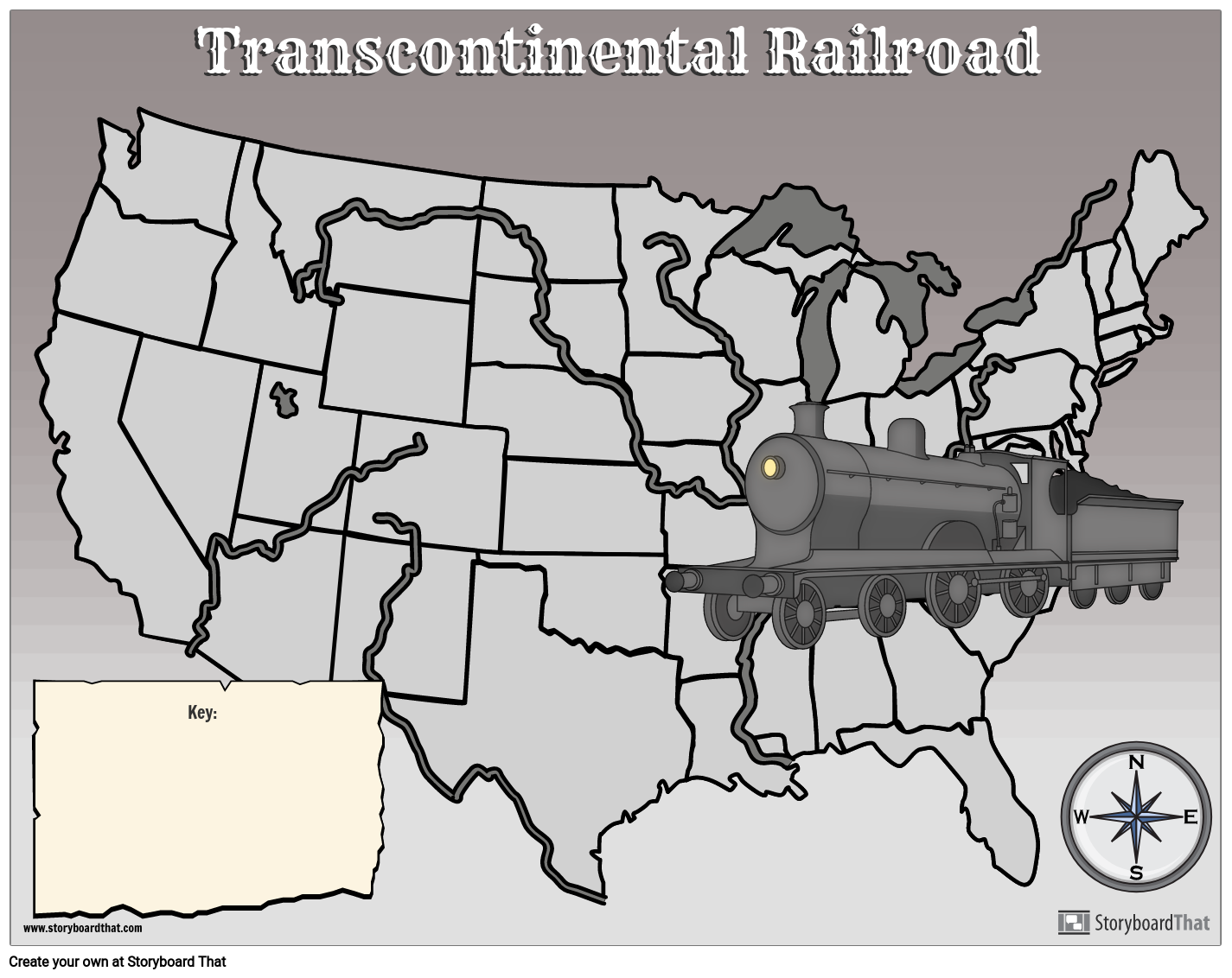
After studying the Transcontinental Railroad, students can display their knowledge about its route, the major companies involved, and the cities from which it traveled by creating a map! They can use the template provided or start with a blank storyboard. Students should include a key with symbols to indicate important features of the railroad determined by the teacher such as cities, states, the routes, physical features, etc. In this example the following are included: the Central Pacific Railroad route, the Union Pacific Railroad route, Omaha, Nebraska, Promontory Point, Utah, Sacramento, California, and the Sierra Nevada Mountains.
Template and Class Instructions
(These instructions are completely customizable. After clicking "Copy Activity", update the instructions on the Edit Tab of the assignment.)
Due Date:
Objective: Create a map about the transcontinental railroad.
Student Instructions:
- Click “Start Assignment”.
- Using the poster template, create a map of the route of the transcontinental railroad. Include major cities, physical features and the two main companies.
Lesson Plan Reference
Student Rubric
(You can also create your own on Quick Rubric.)
| Proficient | Emerging | Beginning | |
|---|---|---|---|
| Illustrations | The illustrations use appropriate scenes, characters and items. | The illustrations are difficult to understand. | The illustrations do not clearly relate to the assignment. |
| Evidence of Effort | Work is well written and carefully thought out. | Work shows some evidence of effort. | Work shows little evidence of any effort. |
| Conventions | Spelling, grammar, and punctuation are mostly correct. | Spelling, grammar, and punctuation are somewhat correct. | Spelling, grammar, and punctuation are mostly incorrect. |
How Tos about Map of the Transcontinental Railroad
Integrate Transcontinental Railroad Facts into a Timeline Activity
Engage students by having them research and place key Transcontinental Railroad events on a timeline. This approach helps students connect dates, milestones, and the significance of each event to the overall project.
Assign students specific research roles
Divide your class so each group or individual focuses on researching one major aspect, such as a company, city, or landmark. This makes the project collaborative and ensures thorough coverage of each topic.
Curate trustworthy research resources
Provide a list of reliable books, websites, and videos about the Transcontinental Railroad. This saves students time and helps them find accurate, grade-appropriate information.
Model creating a sample timeline entry
Demonstrate how to write a concise, informative timeline entry using an example event. This gives students a clear template to follow for their own entries.
Facilitate a class discussion on the railroad’s impact
Lead a conversation about how the Transcontinental Railroad changed travel, trade, and life in the United States. Encouraging student input deepens understanding and personal connection to history.
Frequently Asked Questions about Map of the Transcontinental Railroad
What is a map of the Transcontinental Railroad?
A map of the Transcontinental Railroad visually shows the route connecting the eastern and western United States, highlighting key cities, railroad companies, and geographic features involved in its construction.
How can students create a map of the Transcontinental Railroad for a classroom project?
Students can create a Transcontinental Railroad map by using a template or blank storyboard to draw the route, label major cities (like Omaha, Sacramento, and Promontory Point), mark the Central Pacific and Union Pacific lines, and add a key for symbols representing important features.
What cities and landmarks should be included on a Transcontinental Railroad map?
Key cities and landmarks to include are Omaha, Nebraska, Sacramento, California, Promontory Point, Utah, and significant physical features like the Sierra Nevada Mountains, as well as the routes of the Central Pacific and Union Pacific Railroads.
Why is it important to use a key or legend when mapping the Transcontinental Railroad?
Using a key or legend helps students clearly identify symbols for cities, states, railroad routes, and physical features, making the map easier to understand and visually organized.
What are some tips for teaching the Transcontinental Railroad mapping activity to middle school students?
Encourage students to research the railroad's history, use different colors or icons for each company, include major cities and natural barriers, and explain the significance of each feature in their map's legend.
More Storyboard That Activities
Transcontinental Railroad
Testimonials

“By using the product, they were so excited and they learned so much...”–K-5 Librarian and Instructinal Technology Teacher

“I'm doing a Napoleon timeline and I'm having [students] determine whether or not Napoleon was a good guy or a bad guy or somewhere in between.”–History and Special Ed Teacher

“Students get to be creative with Storyboard That and there's so many visuals for them to pick from... It makes it really accessible for all students in the class.”–Third Grade Teacher
© 2026 - Clever Prototypes, LLC - All rights reserved.
StoryboardThat is a trademark of Clever Prototypes, LLC, and Registered in U.S. Patent and Trademark Office


